Aerial photography in Waregem during WWI
! THIS TEMPORARY EXPO HAS ALREADY ENDED !
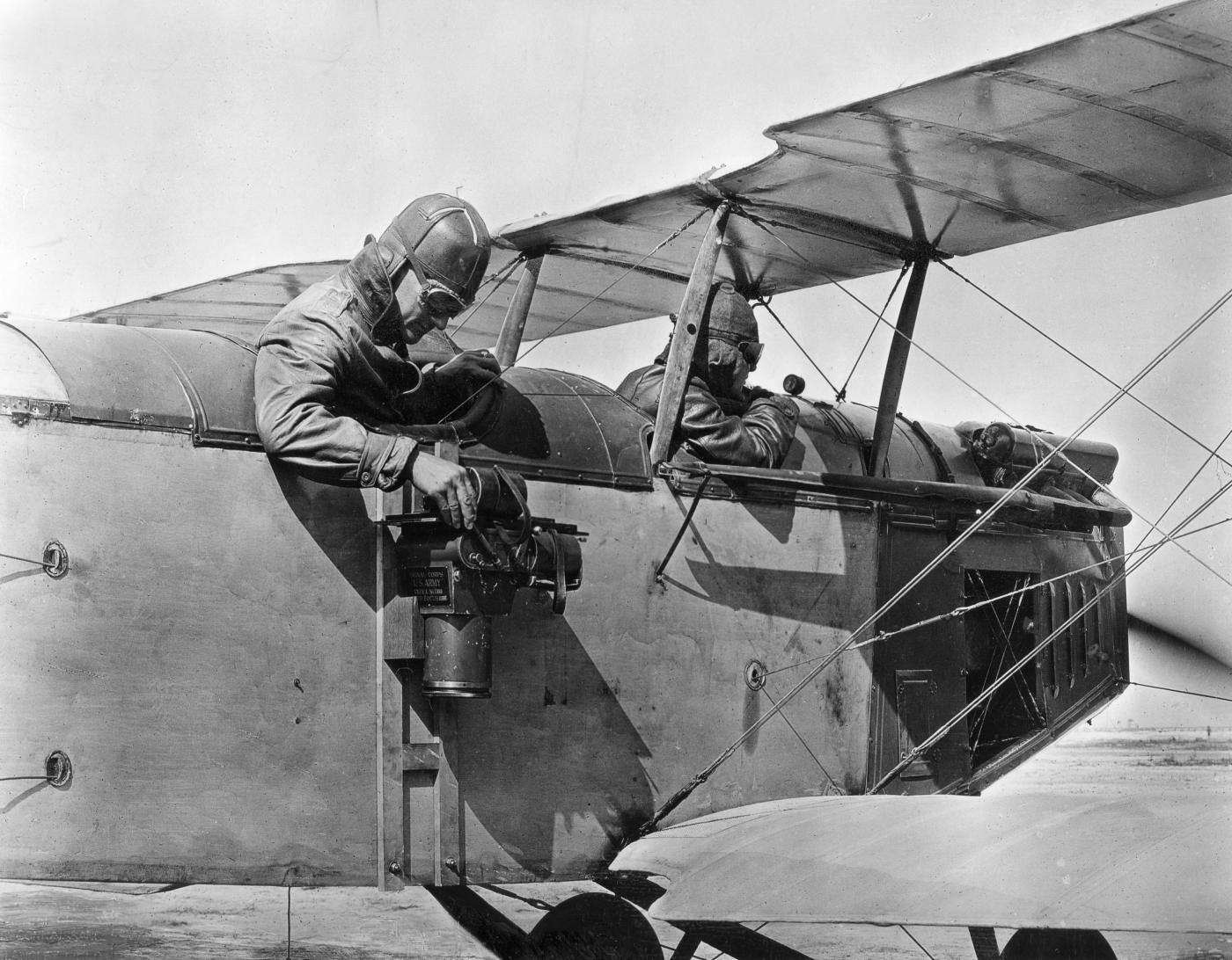
During World War I, aerial photography saw a huge evolution. After all, it was the ideal way to see what was going on behind enemy lines and improve one's own strategy. The aerial photographs give a nice idea of what the landscape looked like in 14-18 and occasionally show military strategic sites. By placing authentic aerial photos on military maps, the historical working group HIPPO.WAR gives a nice picture of Waregem and its delegated municipalities during WWI in this exhibition.
The city archive, in collaboration with the HIPPO.WAR working group, collected numerous authentic aerial photos of Waregem during the First World War. This exhibition shows how these aerial photographs, which were of great strategic importance, were taken and what can be seen on them. A fascinating, free, exhibition on the evolution of aerial photography and cartography during the Great War, with stunning photographic and map material.